Signage, The Red House Ramble
Introduction
The photograph on this page of Signage, The Red House Ramble by Geoff Holland as part of the Geograph project.
The Geograph project started in 2005 with the aim of publishing, organising and preserving representative images for every square kilometre of Great Britain, Ireland and the Isle of Man.

There are currently over 7.5m images from over 14,400 individuals and you can help contribute to the project by visiting https://www.geograph.org.uk
Signage, The Red House Ramble
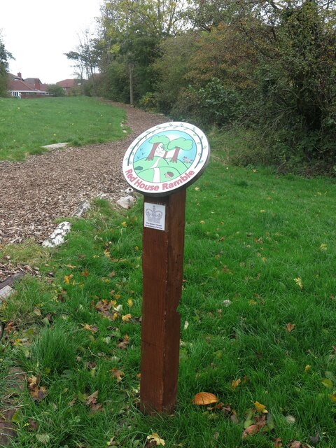
Image: © Geoff Holland Taken: 27 Oct 2020
The Red House Ramble is an urban community project between three housing estates with a log and chipping footpath meandering through copses, a community orchard and grassed areas. The project is committed to biodiversity and to shaping the landscape environmentally. It received the Queen's Award for Voluntary Service in 2020. For a selection of detailed free to download walking routes in the area visit www.northtynesidewalks.co.uk
Images are licensed for reuse under creativecommons.org/licenses/by-sa/2.0
Image Location
Latitude
55.048489
Longitude
-1.478003