Upton Snodsbury - A422
Introduction
The photograph on this page of Upton Snodsbury - A422 by Chris Allen as part of the Geograph project.
The Geograph project started in 2005 with the aim of publishing, organising and preserving representative images for every square kilometre of Great Britain, Ireland and the Isle of Man.

There are currently over 7.5m images from over 14,400 individuals and you can help contribute to the project by visiting https://www.geograph.org.uk
Upton Snodsbury - A422
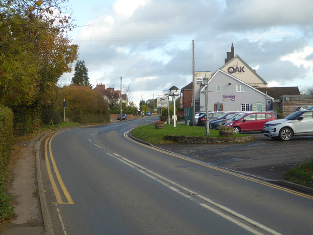
Image: © Chris Allen Taken: 26 Oct 2020
The main Worcester to Stratford-on-Avon road passing The Oak public house (formerly The Royal Oak). This also includes the Twisted Spoon café.
Images are licensed for reuse under creativecommons.org/licenses/by-sa/2.0
Image Location


Leaflet Map data © OpenStreetMap
Latitude
52.188529
Longitude
-2.090354