Huntington Castle (Motte)
Introduction
The photograph on this page of Huntington Castle (Motte) by Fabian Musto as part of the Geograph project.
The Geograph project started in 2005 with the aim of publishing, organising and preserving representative images for every square kilometre of Great Britain, Ireland and the Isle of Man.

There are currently over 7.5m images from over 14,400 individuals and you can help contribute to the project by visiting https://www.geograph.org.uk
Huntington Castle (Motte)
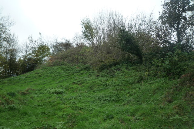
Image: © Fabian Musto Taken: 23 Oct 2020
This man-made motte has a lot of trees on the summit and the keep would have been there back then. The motte is 120 ft in diameter.
Images are licensed for reuse under creativecommons.org/licenses/by-sa/2.0
Image Location
Latitude
52.177765
Longitude
-3.100435