Upper Langdales Farm from Chips Thatch
Introduction
The photograph on this page of Upper Langdales Farm from Chips Thatch by Adrian S Pye as part of the Geograph project.
The Geograph project started in 2005 with the aim of publishing, organising and preserving representative images for every square kilometre of Great Britain, Ireland and the Isle of Man.

There are currently over 7.5m images from over 14,400 individuals and you can help contribute to the project by visiting https://www.geograph.org.uk
Upper Langdales Farm from Chips Thatch
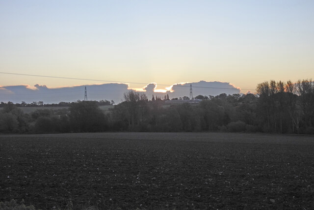
Image: © Adrian S Pye Taken: 26 Oct 2020
Sun just rising over the clouds
Images are licensed for reuse under creativecommons.org/licenses/by-sa/2.0
Image Location
Latitude
52.182367
Longitude
1.058326