Countryside view from Edge Lane
Introduction
The photograph on this page of Countryside view from Edge Lane by Robert Graham as part of the Geograph project.
The Geograph project started in 2005 with the aim of publishing, organising and preserving representative images for every square kilometre of Great Britain, Ireland and the Isle of Man.

There are currently over 7.5m images from over 14,400 individuals and you can help contribute to the project by visiting https://www.geograph.org.uk
Countryside view from Edge Lane
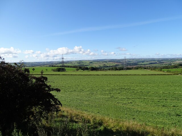
Image: © Robert Graham Taken: 29 Sep 2020
Edge Lane runs from Maiden Law to Burnhope along the top of the escarpment and gives great views to the west. This is the countryside to the north and west of Lanchester, out to the moorlands beyond the A68.
Images are licensed for reuse under creativecommons.org/licenses/by-sa/2.0
Image Location
Latitude
54.834359
Longitude
-1.731106