Bridleway below Broomber
Introduction
The photograph on this page of Bridleway below Broomber by Andy Waddington as part of the Geograph project.
The Geograph project started in 2005 with the aim of publishing, organising and preserving representative images for every square kilometre of Great Britain, Ireland and the Isle of Man.

There are currently over 7.5m images from over 14,400 individuals and you can help contribute to the project by visiting https://www.geograph.org.uk
Bridleway below Broomber
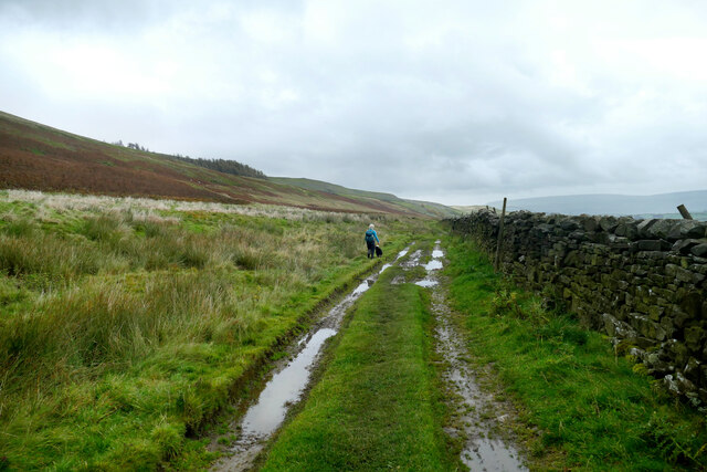
Image: © Andy Waddington Taken: 21 Oct 2020
East of Heugh, the bridleway traverses CROW Access Land on its way towards Castle Bolton. A wall still separates it from the better pasture on top of the Middle Limestone bench, but now bracken slopes rise to the subsidiary spur of Broomber, below Ellerkin Scar, the latter formed in the Underset Limestone.
Images are licensed for reuse under creativecommons.org/licenses/by-sa/2.0
Image Location


Leaflet Map data © OpenStreetMap
Latitude
54.321138
Longitude
-2.05608