Pin Mill, Charfield
Introduction
The photograph on this page of Pin Mill, Charfield by Chris Allen as part of the Geograph project.
The Geograph project started in 2005 with the aim of publishing, organising and preserving representative images for every square kilometre of Great Britain, Ireland and the Isle of Man.

There are currently over 7.5m images from over 14,400 individuals and you can help contribute to the project by visiting https://www.geograph.org.uk
Pin Mill, Charfield
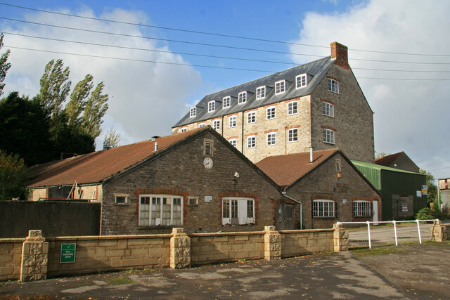
Image: © Chris Allen Taken: 27 Oct 2013
The tall block is an 1825 steam mill with integral engine house and lean to boiler house. The nearer low buildings conceal an attached north light shed on an earlier tenterfield. The front of a Lancashire boiler has been preserved and can be seen from the road. This was originally a textile mill but later converted to make pins. It is now used by an engineering firm.
Images are licensed for reuse under creativecommons.org/licenses/by-sa/2.0
Image Location
Latitude
51.635026
Longitude
-2.402643