Leathermarket Gardens
Introduction
The photograph on this page of Leathermarket Gardens by Marathon as part of the Geograph project.
The Geograph project started in 2005 with the aim of publishing, organising and preserving representative images for every square kilometre of Great Britain, Ireland and the Isle of Man.

There are currently over 7.5m images from over 14,400 individuals and you can help contribute to the project by visiting https://www.geograph.org.uk
Leathermarket Gardens
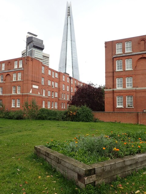
Image: © Marathon Taken: 24 Oct 2020
The name of Leathermarket Gardens comes from the historic leather markets and tanneries nearby. The park was laid out in the 1930s, and the gardens are overlooked by flats of the same period. It is a popular sitting out area for local workers. Rising above everything else in the background is The Shard. When I took the same photograph in October 2011 The Shard was still being built - https://www.geograph.org.uk/photo/2647620
Images are licensed for reuse under creativecommons.org/licenses/by-sa/2.0
Image Location
Latitude
51.500647
Longitude
-0.082817