The East end of Wells
Introduction
The photograph on this page of The East end of Wells by Sharon Loxton as part of the Geograph project.
The Geograph project started in 2005 with the aim of publishing, organising and preserving representative images for every square kilometre of Great Britain, Ireland and the Isle of Man.

There are currently over 7.5m images from over 14,400 individuals and you can help contribute to the project by visiting https://www.geograph.org.uk
The East end of Wells
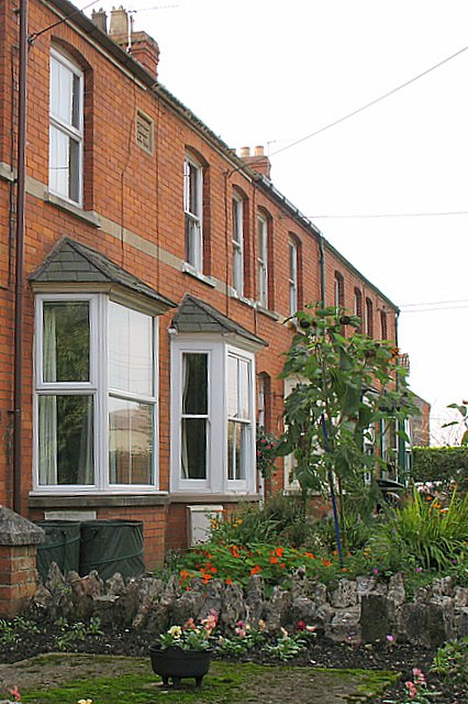
Image: © Sharon Loxton Taken: 6 Oct 2007
This row of Edwardian terraced houses are located on the very eastern outskirts of Wells, on the southern side of the old Wells-Bath road.
Images are licensed for reuse under creativecommons.org/licenses/by-sa/2.0
Image Location
Latitude
51.212799
Longitude
-2.623573