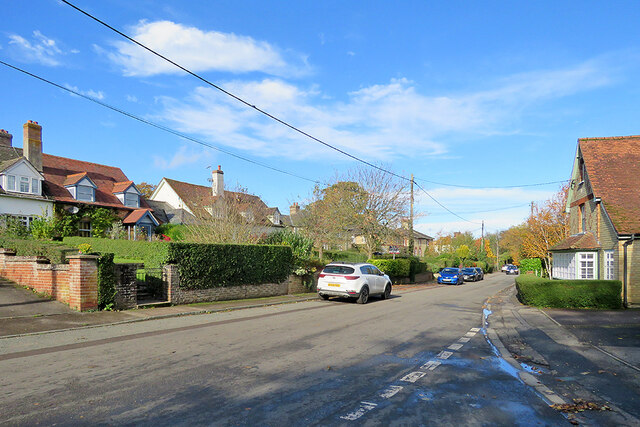
Widdington: High Street cottages
Introduction
The photograph on this page of Widdington: High Street cottages by John Sutton as part of the Geograph project.
The Geograph project started in 2005 with the aim of publishing, organising and preserving representative images for every square kilometre of Great Britain, Ireland and the Isle of Man.
There are currently over 7.5m images from over 14,400 individuals and you can help contribute to the project by visiting https://www.geograph.org.uk

Image: © John Sutton Taken: 25 Oct 2020
The 19th-century slate-roofed semi-detached cottages on the left-hand side of the road were "built to accommodate agricultural workers. Each pair [has] an individually-designed front. An advanced project for its period" (Grade II listing text).

