City of Chester / Cheshire County Council Boundary
Introduction
The photograph on this page of City of Chester / Cheshire County Council Boundary by BrianPritchard as part of the Geograph project.
The Geograph project started in 2005 with the aim of publishing, organising and preserving representative images for every square kilometre of Great Britain, Ireland and the Isle of Man.

There are currently over 7.5m images from over 14,400 individuals and you can help contribute to the project by visiting https://www.geograph.org.uk
City of Chester / Cheshire County Council Boundary
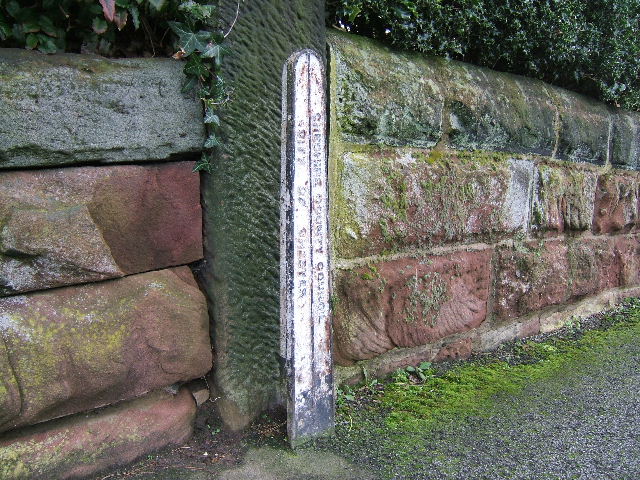
Image: © BrianPritchard Taken: 22 Jan 2008
A cast iron boundary marker, located on Dee Banks.
Images are licensed for reuse under creativecommons.org/licenses/by-sa/2.0
Image Location
Latitude
53.185671
Longitude
-2.868817