Dart valley below Sharp Tor
Introduction
The photograph on this page of Dart valley below Sharp Tor by Derek Harper as part of the Geograph project.
The Geograph project started in 2005 with the aim of publishing, organising and preserving representative images for every square kilometre of Great Britain, Ireland and the Isle of Man.

There are currently over 7.5m images from over 14,400 individuals and you can help contribute to the project by visiting https://www.geograph.org.uk
Dart valley below Sharp Tor
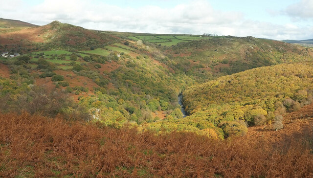
Image: © Derek Harper Taken: 22 Oct 2020
A view from the Holne Moor Leat. The wood on the right is White Wood; ahead on the other bank is Meltor Wood, with an unnamed extension below Rowbrook House and the tor. Other tors are Bel and Mel tors at upper right, and Luckey Tor down by the river at bottom left.
Images are licensed for reuse under creativecommons.org/licenses/by-sa/2.0
Image Location
Latitude
50.533875
Longitude
-3.855456