Path crossing Empire Road, Torquay
Introduction
The photograph on this page of Path crossing Empire Road, Torquay by Derek Harper as part of the Geograph project.
The Geograph project started in 2005 with the aim of publishing, organising and preserving representative images for every square kilometre of Great Britain, Ireland and the Isle of Man.

There are currently over 7.5m images from over 14,400 individuals and you can help contribute to the project by visiting https://www.geograph.org.uk
Path crossing Empire Road, Torquay
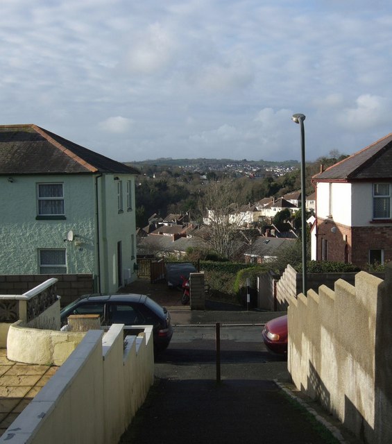
Image: © Derek Harper Taken: 12 Jan 2008
Part of a sequence of paths making a walking route between Plainmoor and the lower end of Chatto Road. The house on the left can be recognised from Image The houses beyond are in Haslam Road.
Images are licensed for reuse under creativecommons.org/licenses/by-sa/2.0
Image Location


Leaflet Map data © OpenStreetMap
Latitude
50.478248
Longitude
-3.530936