Village Sign and Beacon, West Bergholt
Introduction
The photograph on this page of Village Sign and Beacon, West Bergholt by Chris Heaton as part of the Geograph project.
The Geograph project started in 2005 with the aim of publishing, organising and preserving representative images for every square kilometre of Great Britain, Ireland and the Isle of Man.

There are currently over 7.5m images from over 14,400 individuals and you can help contribute to the project by visiting https://www.geograph.org.uk
Village Sign and Beacon, West Bergholt
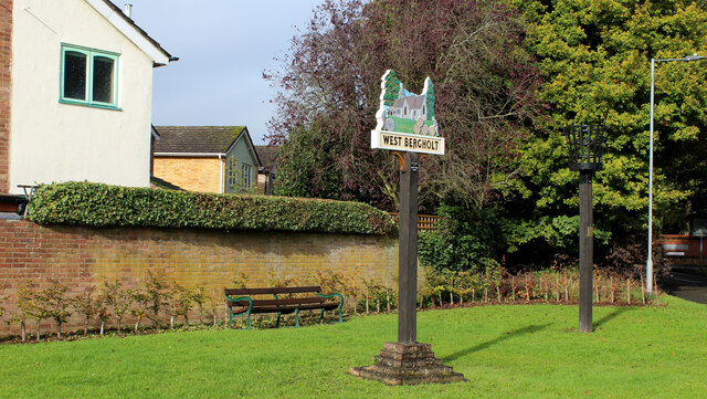
Image: © Chris Heaton Taken: 15 Oct 2020
Located at the junction of Colchester Road and Chapel Road. The beacon claims to be No. 987 of 4,200 worldwide. The village sign depicts the old church of St. Mary's to be found about half a mile out of the village, to the north west. Now in the care of the Churches Conservation Trust.
Images are licensed for reuse under creativecommons.org/licenses/by-sa/2.0
Image Location
Latitude
51.913881
Longitude
0.855343