West Overcliff Drive
Introduction
The photograph on this page of West Overcliff Drive by Neil Owen as part of the Geograph project.
The Geograph project started in 2005 with the aim of publishing, organising and preserving representative images for every square kilometre of Great Britain, Ireland and the Isle of Man.

There are currently over 7.5m images from over 14,400 individuals and you can help contribute to the project by visiting https://www.geograph.org.uk
West Overcliff Drive
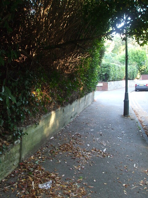
Image: © Neil Owen Taken: 21 Sep 2020
The area was a gravel pit in the nineteenth century, before housing was built in the first decade of the twentieth. Low on the concrete wall is a benchmark, which dates from around WWII. See Image] for a close look.
Images are licensed for reuse under creativecommons.org/licenses/by-sa/2.0
Image Location
Latitude
50.715792
Longitude
-1.894989