Bridge at Old Struan
Introduction
The photograph on this page of Bridge at Old Struan by Gordon Hatton as part of the Geograph project.
The Geograph project started in 2005 with the aim of publishing, organising and preserving representative images for every square kilometre of Great Britain, Ireland and the Isle of Man.

There are currently over 7.5m images from over 14,400 individuals and you can help contribute to the project by visiting https://www.geograph.org.uk
Bridge at Old Struan
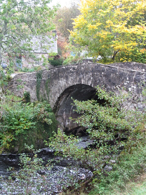
Image: © Gordon Hatton Taken: 12 Oct 2020
Grade 'B' listed, but no information available as to its date. The bridge crosses the Errochty Water just 2-300m above its confluence with the Garry.
Images are licensed for reuse under creativecommons.org/licenses/by-sa/2.0
Image Location
Latitude
56.764212
Longitude
-3.949475