Path through the Stanmore Country Park
Introduction
The photograph on this page of Path through the Stanmore Country Park by Mat Fascione as part of the Geograph project.
The Geograph project started in 2005 with the aim of publishing, organising and preserving representative images for every square kilometre of Great Britain, Ireland and the Isle of Man.

There are currently over 7.5m images from over 14,400 individuals and you can help contribute to the project by visiting https://www.geograph.org.uk
Path through the Stanmore Country Park
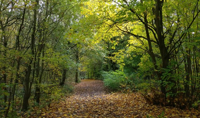
Image: © Mat Fascione Taken: 20 Oct 2020
Stanmore Country Park is a 100-acre (40 hectare) country park near Bridgnorth in Shropshire. It was created in 1994 on the former site of RAF Bridgnorth.
Images are licensed for reuse under creativecommons.org/licenses/by-sa/2.0
Image Location
Latitude
52.531551
Longitude
-2.381463