Beverley and Barmston Drain, Thearne
Introduction
The photograph on this page of Beverley and Barmston Drain, Thearne by Paul Harrop as part of the Geograph project.
The Geograph project started in 2005 with the aim of publishing, organising and preserving representative images for every square kilometre of Great Britain, Ireland and the Isle of Man.

There are currently over 7.5m images from over 14,400 individuals and you can help contribute to the project by visiting https://www.geograph.org.uk
Beverley and Barmston Drain, Thearne
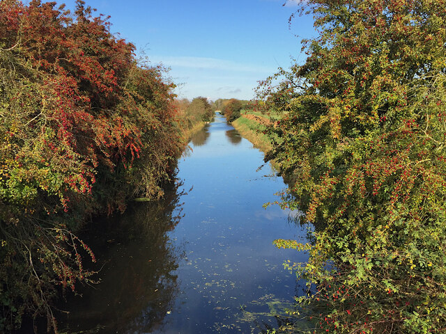
Image: © Paul Harrop Taken: 20 Oct 2020
Seen from the bridge carrying Ferry Lane, the drain is the main feature of a land drainage scheme authorised in 1798 to the west of the River Hull. It runs for about 15 miles, from near Driffield to close to the centre of the city of Hull (Wikipedia https://en.wikipedia.org/wiki/Beverley_and_Barmston_Drain ).
Images are licensed for reuse under creativecommons.org/licenses/by-sa/2.0
Image Location
Latitude
53.820345
Longitude
-0.382938