Snodland bypass, looking north
Introduction
The photograph on this page of Snodland bypass, looking north by Richard Dorrell as part of the Geograph project.
The Geograph project started in 2005 with the aim of publishing, organising and preserving representative images for every square kilometre of Great Britain, Ireland and the Isle of Man.

There are currently over 7.5m images from over 14,400 individuals and you can help contribute to the project by visiting https://www.geograph.org.uk
Snodland bypass, looking north
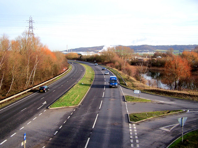
Image: © Richard Dorrell Taken: 22 Jan 2008
The junction is to the Ham Hill water treatment works. The industrial buildings in the background are Snodland paper mill.
Images are licensed for reuse under creativecommons.org/licenses/by-sa/2.0
Image Location
Latitude
51.320248
Longitude
0.443834