Farmland north of the Museum of Rural Life
Introduction
The photograph on this page of Farmland north of the Museum of Rural Life by Alec MacKinnon as part of the Geograph project.
The Geograph project started in 2005 with the aim of publishing, organising and preserving representative images for every square kilometre of Great Britain, Ireland and the Isle of Man.

There are currently over 7.5m images from over 14,400 individuals and you can help contribute to the project by visiting https://www.geograph.org.uk
Farmland north of the Museum of Rural Life
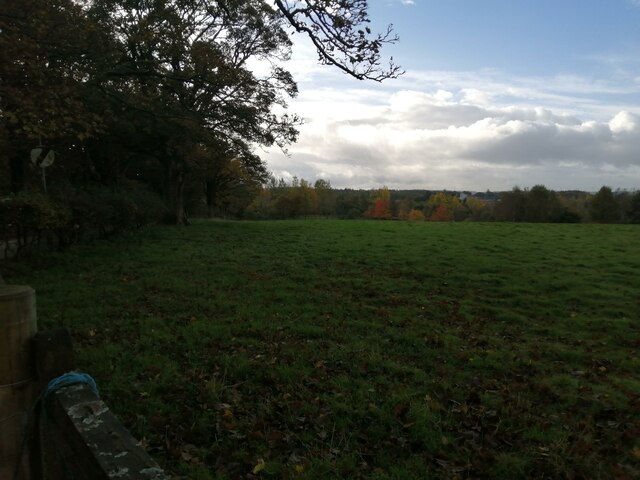
Image: © Alec MacKinnon Taken: 20 Oct 2020
The National Museum of Rural Life can be spotted among the trees at the far side of the field. At left, next the little wood is the minor road that runs from Philipshill to Carmunnock.
Images are licensed for reuse under creativecommons.org/licenses/by-sa/2.0
Image Location
Latitude
55.777716
Longitude
-4.218674