View across Ogmore Vale
Introduction
The photograph on this page of View across Ogmore Vale by Alan Hughes as part of the Geograph project.
The Geograph project started in 2005 with the aim of publishing, organising and preserving representative images for every square kilometre of Great Britain, Ireland and the Isle of Man.

There are currently over 7.5m images from over 14,400 individuals and you can help contribute to the project by visiting https://www.geograph.org.uk
View across Ogmore Vale
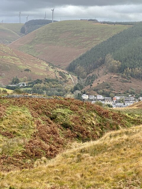
Image: © Alan Hughes Taken: 20 Oct 2020
The Ogmore valley runs from north to south. At the old mining community of Ogmore Vale tributaries from the west, Cwm Cyffog, and from the east, Cwm Nant y Fuwch, flow into the River Ogwr.
Images are licensed for reuse under creativecommons.org/licenses/by-sa/2.0
Image Location
Latitude
51.601304
Longitude
-3.542426