Downstream along the Tummel
Introduction
The photograph on this page of Downstream along the Tummel by Gordon Hatton as part of the Geograph project.
The Geograph project started in 2005 with the aim of publishing, organising and preserving representative images for every square kilometre of Great Britain, Ireland and the Isle of Man.

There are currently over 7.5m images from over 14,400 individuals and you can help contribute to the project by visiting https://www.geograph.org.uk
Downstream along the Tummel
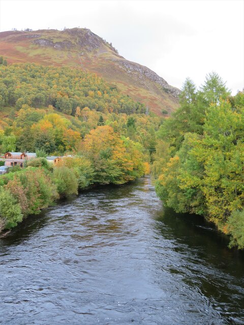
Image: © Gordon Hatton Taken: 11 Oct 2020
The River Tummel begins life as it exits Loch Rannoch, before heading east towards a confluence with the Garry and eventually joining the Tay near Logerait.
Images are licensed for reuse under creativecommons.org/licenses/by-sa/2.0
Image Location
Latitude
56.700447
Longitude
-4.185636