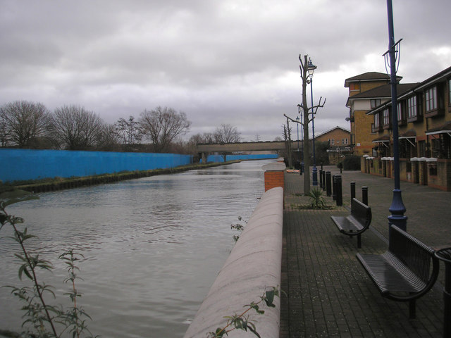
Hackney Cut. looking south
Introduction
The photograph on this page of Hackney Cut. looking south by Dr Neil Clifton as part of the Geograph project.
The Geograph project started in 2005 with the aim of publishing, organising and preserving representative images for every square kilometre of Great Britain, Ireland and the Isle of Man.
There are currently over 7.5m images from over 14,400 individuals and you can help contribute to the project by visiting https://www.geograph.org.uk

Image: © Dr Neil Clifton Taken: 19 Jan 2008
On the left is the dreaded 'Blue Fence', keeping intruders out of the Olympics site. On the right, pleasnt modern housing. And straight on, the River Thames in about three miles. Interestingly, there are plans to bring in building materials by barge along this navigation to the Olympics site, which will represent a revival of usage for the waterway and the saving of many lorry journeys over local roads. The bridge in the distance is a footbridge only, giving access into Hackney Wick and the station from the canal towpath.

