Track to Gale Lane
Introduction
The photograph on this page of Track to Gale Lane by Andy Waddington as part of the Geograph project.
The Geograph project started in 2005 with the aim of publishing, organising and preserving representative images for every square kilometre of Great Britain, Ireland and the Isle of Man.

There are currently over 7.5m images from over 14,400 individuals and you can help contribute to the project by visiting https://www.geograph.org.uk
Track to Gale Lane
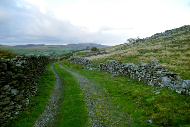
Image: © Andy Waddington Taken: 15 Oct 2020
This track leads from Hops House, Butts Intake House and Many Walls to join Gale Lane (another track) and eventually up to High Lane, an actual public road. It is not a public right of way, but waymarking is so poor that it is easy to find oneself on the obvious route rather than the bridleway to Birks End, and once there, depending on your final destination, continuing may be the default option. Since my car was at the end of Gale Lane and the dog really doesn't like traffic, I took the easy option and headed on this way. For anyone that objects to walkers blundering along where they don't really belong, better waymarking is the moral of this story.
Images are licensed for reuse under creativecommons.org/licenses/by-sa/2.0
Image Location
Latitude
54.371837
Longitude
-2.020285