Gateway into Low Baronwood Farm field
Introduction
The photograph on this page of Gateway into Low Baronwood Farm field by Roger Templeman as part of the Geograph project.
The Geograph project started in 2005 with the aim of publishing, organising and preserving representative images for every square kilometre of Great Britain, Ireland and the Isle of Man.

There are currently over 7.5m images from over 14,400 individuals and you can help contribute to the project by visiting https://www.geograph.org.uk
Gateway into Low Baronwood Farm field
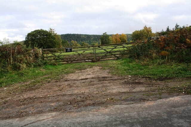
Image: © Roger Templeman Taken: 16 Oct 2020
Ordnance Survey documents indicate that in 1972 a benchmark levelled at 127.039m above Newlyn Datum was verified on a gatepost at this gateway which appears to have been widened
Images are licensed for reuse under creativecommons.org/licenses/by-sa/2.0
Image Location


Leaflet Map data © OpenStreetMap
Latitude
54.791655
Longitude
-2.774453