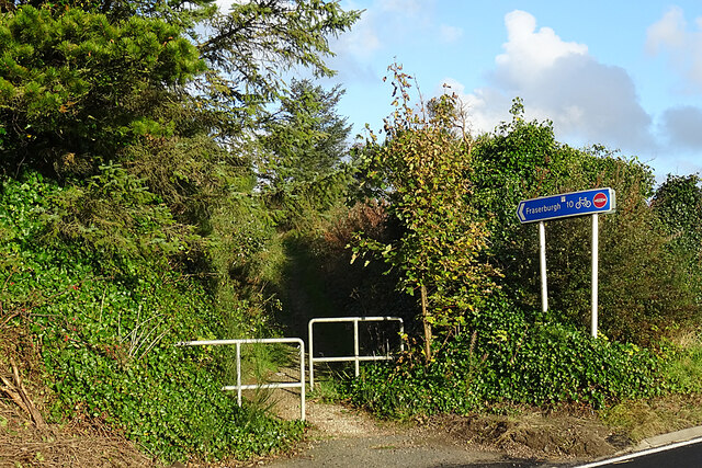
Access to Formartine and Buchan Way
Introduction
The photograph on this page of Access to Formartine and Buchan Way by Anne Burgess as part of the Geograph project.
The Geograph project started in 2005 with the aim of publishing, organising and preserving representative images for every square kilometre of Great Britain, Ireland and the Isle of Man.
There are currently over 7.5m images from over 14,400 individuals and you can help contribute to the project by visiting https://www.geograph.org.uk

Image: © Anne Burgess Taken: 14 Oct 2020
This is the crossing at the B9093 at the east end of Strichen, and it was where we left the path today. We had logged 12 miles according to both my GPS receiver and my companion's app, in spite of the sign saying 10 and the published distance being 10½ miles, although we had never left the path and had not retraced our steps at any point.

