High Paradise Farm
Introduction
The photograph on this page of High Paradise Farm by habiloid as part of the Geograph project.
The Geograph project started in 2005 with the aim of publishing, organising and preserving representative images for every square kilometre of Great Britain, Ireland and the Isle of Man.

There are currently over 7.5m images from over 14,400 individuals and you can help contribute to the project by visiting https://www.geograph.org.uk
High Paradise Farm
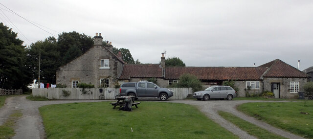
Image: © habiloid Taken: 22 Aug 2015
High Paradise Farm sits on the Cleveland Way has a bunk barn and a cafe.
Images are licensed for reuse under creativecommons.org/licenses/by-sa/2.0
Image Location


Leaflet Map data © OpenStreetMap
Latitude
54.291815
Longitude
-1.228591