Thelnetham village sign
Introduction
The photograph on this page of Thelnetham village sign by Adrian S Pye as part of the Geograph project.
The Geograph project started in 2005 with the aim of publishing, organising and preserving representative images for every square kilometre of Great Britain, Ireland and the Isle of Man.

There are currently over 7.5m images from over 14,400 individuals and you can help contribute to the project by visiting https://www.geograph.org.uk
Thelnetham village sign
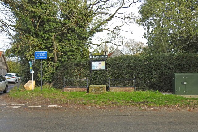
Image: © Adrian S Pye Taken: 16 Oct 2020
A simple announcement that this is Thelnetham with a notice board of forthcoming and past events. https://www.geograph.org.uk/photo/6640623 The bell turret seen on the other side of the hedge is the village hall, formerly the St. Helen's Church of England School, built in 1872 and grade II listed. https://www.geograph.org.uk/photo/6512273
Images are licensed for reuse under creativecommons.org/licenses/by-sa/2.0
Image Location
Latitude
52.365217
Longitude
0.959001