Central reservation footpath, Toxteth
Introduction
The photograph on this page of Central reservation footpath, Toxteth by Richard Vince as part of the Geograph project.
The Geograph project started in 2005 with the aim of publishing, organising and preserving representative images for every square kilometre of Great Britain, Ireland and the Isle of Man.

There are currently over 7.5m images from over 14,400 individuals and you can help contribute to the project by visiting https://www.geograph.org.uk
Central reservation footpath, Toxteth
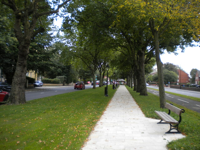
Image: © Richard Vince Taken: 16 Sep 2020
Between Princes Avenue (left) and Princes Road (right), with a cycle path between the footpath and the latter.
Images are licensed for reuse under creativecommons.org/licenses/by-sa/2.0
Image Location
Latitude
53.393942
Longitude
-2.963133