Former Railway Line
Introduction
The photograph on this page of Former Railway Line by Anne Burgess as part of the Geograph project.
The Geograph project started in 2005 with the aim of publishing, organising and preserving representative images for every square kilometre of Great Britain, Ireland and the Isle of Man.

There are currently over 7.5m images from over 14,400 individuals and you can help contribute to the project by visiting https://www.geograph.org.uk
Former Railway Line
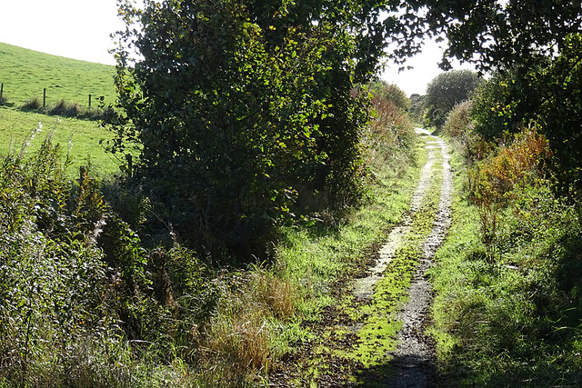
Image: © Anne Burgess Taken: 14 Oct 2020
After Invernorth the railway begins to climb gently. This section of the route was quite wet, with water running down on both sides of the central grassy strip.
Images are licensed for reuse under creativecommons.org/licenses/by-sa/2.0
Image Location
Latitude
57.650073
Longitude
-1.974352