Field Drain
Introduction
The photograph on this page of Field Drain by Anne Burgess as part of the Geograph project.
The Geograph project started in 2005 with the aim of publishing, organising and preserving representative images for every square kilometre of Great Britain, Ireland and the Isle of Man.

There are currently over 7.5m images from over 14,400 individuals and you can help contribute to the project by visiting https://www.geograph.org.uk
Field Drain
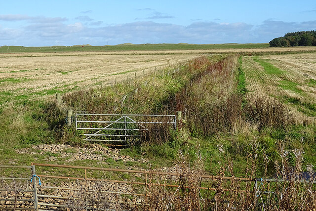
Image: © Anne Burgess Taken: 14 Oct 2020
The ditch is culverted downstream of the former railway bridge to allow farm vehicles to get into the fields on either side.
Images are licensed for reuse under creativecommons.org/licenses/by-sa/2.0
Image Location
Latitude
57.665075
Longitude
-1.982555