Wet Fold
Introduction
The photograph on this page of Wet Fold by Anne Burgess as part of the Geograph project.
The Geograph project started in 2005 with the aim of publishing, organising and preserving representative images for every square kilometre of Great Britain, Ireland and the Isle of Man.

There are currently over 7.5m images from over 14,400 individuals and you can help contribute to the project by visiting https://www.geograph.org.uk
Wet Fold
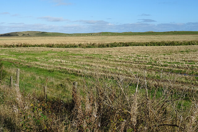
Image: © Anne Burgess Taken: 14 Oct 2020
According to the map, the name of this field is Wet Fold. The rough vegetation across it is a ditch that drains into the Water of Philorth. In the distance are the dunes along Fraserburgh Bay.
Images are licensed for reuse under creativecommons.org/licenses/by-sa/2.0
Image Location
Latitude
57.666243
Longitude
-1.984063