Philorth Home Farm
Introduction
The photograph on this page of Philorth Home Farm by Anne Burgess as part of the Geograph project.
The Geograph project started in 2005 with the aim of publishing, organising and preserving representative images for every square kilometre of Great Britain, Ireland and the Isle of Man.

There are currently over 7.5m images from over 14,400 individuals and you can help contribute to the project by visiting https://www.geograph.org.uk
Philorth Home Farm
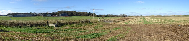
Image: © Anne Burgess Taken: 14 Oct 2020
The extensive buildings of the Home Farm are left of centre, beside the trees that surround Philorth House. The line of the old railway crosses the farmland in the foreground.
Images are licensed for reuse under creativecommons.org/licenses/by-sa/2.0
Image Location
Latitude
57.66759
Longitude
-1.986744