Highfields: Caldecote Village Club
Introduction
The photograph on this page of Highfields: Caldecote Village Club by John Sutton as part of the Geograph project.
The Geograph project started in 2005 with the aim of publishing, organising and preserving representative images for every square kilometre of Great Britain, Ireland and the Isle of Man.

There are currently over 7.5m images from over 14,400 individuals and you can help contribute to the project by visiting https://www.geograph.org.uk
Highfields: Caldecote Village Club
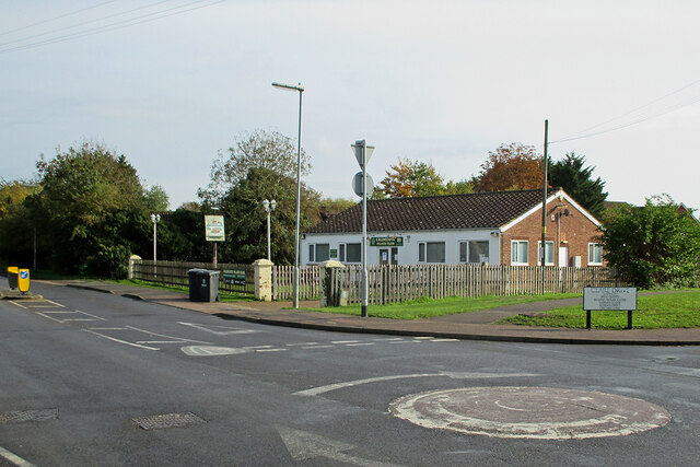
Image: © John Sutton Taken: 14 Oct 2020
It appears to have changed its name from Social Club in recent years. Highfields Caldecote is a straggling settlement - Highfields is the more modern and populous part.
Images are licensed for reuse under creativecommons.org/licenses/by-sa/2.0
Image Location
Latitude
52.210199
Longitude
-0.021972