Blocks by the Pawlett Road
Introduction
The photograph on this page of Blocks by the Pawlett Road by Neil Owen as part of the Geograph project.
The Geograph project started in 2005 with the aim of publishing, organising and preserving representative images for every square kilometre of Great Britain, Ireland and the Isle of Man.

There are currently over 7.5m images from over 14,400 individuals and you can help contribute to the project by visiting https://www.geograph.org.uk
Blocks by the Pawlett Road
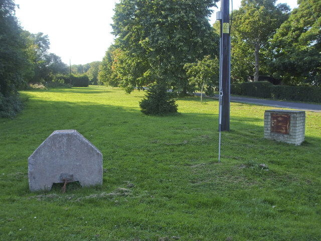
Image: © Neil Owen Taken: 14 Sep 2020
The entrance to the southern end of Huntspill has a little ribbon of greenery and some odd concrete blocks
Images are licensed for reuse under creativecommons.org/licenses/by-sa/2.0
Image Location
Latitude
51.202632
Longitude
-2.989575