Drumlin hollow wetland on the Western outskirts of Downpatrick
Introduction
The photograph on this page of Drumlin hollow wetland on the Western outskirts of Downpatrick by Eric Jones as part of the Geograph project.
The Geograph project started in 2005 with the aim of publishing, organising and preserving representative images for every square kilometre of Great Britain, Ireland and the Isle of Man.

There are currently over 7.5m images from over 14,400 individuals and you can help contribute to the project by visiting https://www.geograph.org.uk
Drumlin hollow wetland on the Western outskirts of Downpatrick
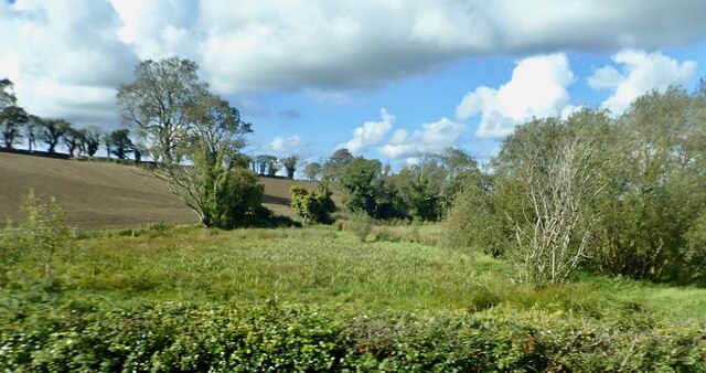
Image: © Eric Jones Taken: 1 Oct 2020
The waterlogged nature of the hollow contrasts with the well drained soils of the drumlin. The drumlin forms an 'island' of cropland on the flood plain of the Quoile River.
Images are licensed for reuse under creativecommons.org/licenses/by-sa/2.0
Image Location
Latitude
54.320809
Longitude
-5.723568