Nonington Church of England Primary School, Church Street
Introduction
The photograph on this page of Nonington Church of England Primary School, Church Street by John Baker as part of the Geograph project.
The Geograph project started in 2005 with the aim of publishing, organising and preserving representative images for every square kilometre of Great Britain, Ireland and the Isle of Man.

There are currently over 7.5m images from over 14,400 individuals and you can help contribute to the project by visiting https://www.geograph.org.uk
Nonington Church of England Primary School, Church Street
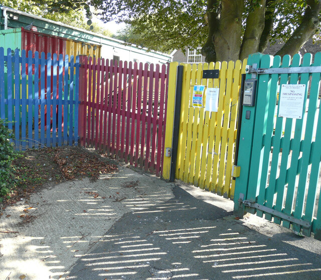
Image: © John Baker Taken: 13 Sep 2020
Dover District Council has not raised any objection to planning application number DOV/20/00862 “to remove the timber-framed mobile classroom building and timber framed lodge behind and construct a traditionally constructed brick / block classroom extension. This is a single storey extension with a flat roof, providing classrooms, toilets and storage, connecting into the corridor in the existing school building to aid internal circulation” The timber-framed mobile classroom building lies just beyond the fence.
Images are licensed for reuse under creativecommons.org/licenses/by-sa/2.0
Image Location
Latitude
51.224517
Longitude
1.224848