Uttons Drove, nr. Longstanton
Introduction
The photograph on this page of Uttons Drove, nr. Longstanton by Martin Tester as part of the Geograph project.
The Geograph project started in 2005 with the aim of publishing, organising and preserving representative images for every square kilometre of Great Britain, Ireland and the Isle of Man.

There are currently over 7.5m images from over 14,400 individuals and you can help contribute to the project by visiting https://www.geograph.org.uk
Uttons Drove, nr. Longstanton
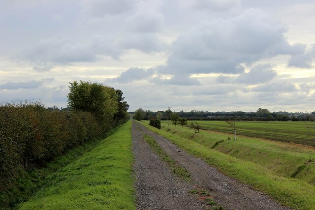
Image: © Martin Tester Taken: 13 Oct 2020
Looking south along Uttons Drove from near Trinity Barn, & the point where the tarmac surface gives way to gravel.
Images are licensed for reuse under creativecommons.org/licenses/by-sa/2.0
Image Location
Latitude
52.278516
Longitude
0.011121