Ramper Road junction, Swavesey
Introduction
The photograph on this page of Ramper Road junction, Swavesey by Martin Tester as part of the Geograph project.
The Geograph project started in 2005 with the aim of publishing, organising and preserving representative images for every square kilometre of Great Britain, Ireland and the Isle of Man.

There are currently over 7.5m images from over 14,400 individuals and you can help contribute to the project by visiting https://www.geograph.org.uk
Ramper Road junction, Swavesey
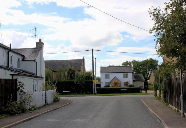
Image: © Martin Tester Taken: 24 Aug 2020
Ramper Road connects the villages of Longstanton & Swavesey. It meets the main road through Swavesey at the point at which its name changes from Boxworth End (to the left) to the rather enigmatic Middle Watch.
Images are licensed for reuse under creativecommons.org/licenses/by-sa/2.0
Image Location
Latitude
52.29178
Longitude
-0.002209