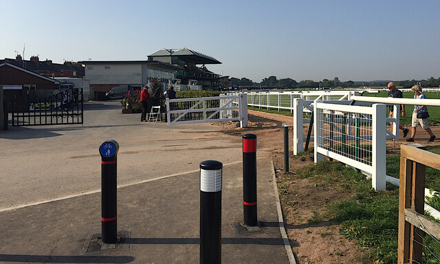
Shared path continues by the racecourse, Warwick
Introduction
The photograph on this page of Shared path continues by the racecourse, Warwick by Robin Stott as part of the Geograph project.
The Geograph project started in 2005 with the aim of publishing, organising and preserving representative images for every square kilometre of Great Britain, Ireland and the Isle of Man.
There are currently over 7.5m images from over 14,400 individuals and you can help contribute to the project by visiting https://www.geograph.org.uk

Image: © Robin Stott Taken: 22 Sep 2020
The fairly new wide path in the foreground may be intended to form part of National Cycle Network Route 41. Incredibly it continues on lumpy compacted sand between fences alongside the racecourse. All public footpaths on and across the course are closed on race days. A better way is the little-used pavement on the north side of Hampton Road, taking care at a pinchpoint. There is a crossing to a residential service road which appears to be an official cycle route. NCN Route 41 seems to go between Bristol and Rugby but there are significant gaps in Gloucestershire, Warwick and Leamington, and towards Rugby itself.

