Witherdine, near Redmarley D'Abitot
Introduction
The photograph on this page of Witherdine, near Redmarley D'Abitot by Philip Halling as part of the Geograph project.
The Geograph project started in 2005 with the aim of publishing, organising and preserving representative images for every square kilometre of Great Britain, Ireland and the Isle of Man.

There are currently over 7.5m images from over 14,400 individuals and you can help contribute to the project by visiting https://www.geograph.org.uk
Witherdine, near Redmarley D'Abitot
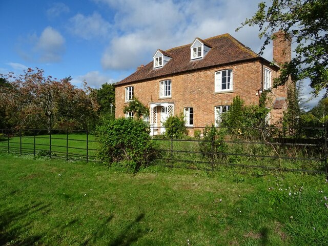
Image: © Philip Halling Taken: 6 Oct 2020
The house which doesn't appear to be listed probably dates from the late 18th century or early 19th century. I previously photographed this house in 2008 Image
Images are licensed for reuse under creativecommons.org/licenses/by-sa/2.0
Image Location
Latitude
51.963283
Longitude
-2.348527