Towards Farden
Introduction
The photograph on this page of Towards Farden by Mary and Angus Hogg as part of the Geograph project.
The Geograph project started in 2005 with the aim of publishing, organising and preserving representative images for every square kilometre of Great Britain, Ireland and the Isle of Man.

There are currently over 7.5m images from over 14,400 individuals and you can help contribute to the project by visiting https://www.geograph.org.uk
Towards Farden
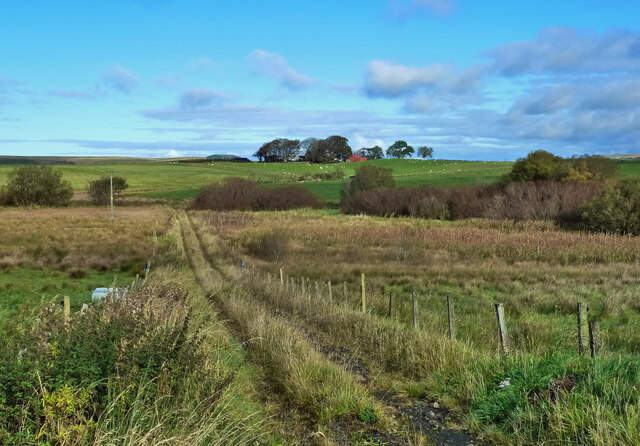
Image: © Mary and Angus Hogg Taken: 11 Oct 2020
This old track leads to Lane Burn where there the old maps show a ford. That part of the track was extremely wet on this early-autumn visit. The farmstead at Farden is shown on the skyline.
Images are licensed for reuse under creativecommons.org/licenses/by-sa/2.0
Image Location
Latitude
55.374093
Longitude
-4.23753