Borders Abbeys Way south of Jedburgh
Introduction
The photograph on this page of Borders Abbeys Way south of Jedburgh by Jim Barton as part of the Geograph project.
The Geograph project started in 2005 with the aim of publishing, organising and preserving representative images for every square kilometre of Great Britain, Ireland and the Isle of Man.

There are currently over 7.5m images from over 14,400 individuals and you can help contribute to the project by visiting https://www.geograph.org.uk
Borders Abbeys Way south of Jedburgh
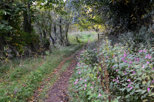
Image: © Jim Barton Taken: 11 Oct 2020
The Way is unusual for a long distance path as it is circular, connecting Jedburgh with Kelso, Dryburgh, Melrose, Selkirk, Hawick and back to Jedburgh, a lap distance of about 68 miles (109km).
Images are licensed for reuse under creativecommons.org/licenses/by-sa/2.0
Image Location
Latitude
55.4686
Longitude
-2.557844