Old Boundary Marker
Introduction
The photograph on this page of Old Boundary Marker by R Hanns as part of the Geograph project.
The Geograph project started in 2005 with the aim of publishing, organising and preserving representative images for every square kilometre of Great Britain, Ireland and the Isle of Man.

There are currently over 7.5m images from over 14,400 individuals and you can help contribute to the project by visiting https://www.geograph.org.uk
Old Boundary Marker
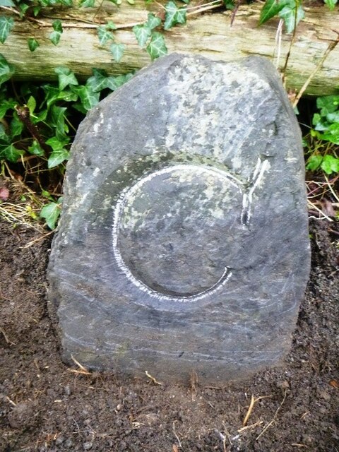
Image: © R Hanns Taken: 29 Nov 2019
County Bridge Marker on the east side of the cycle path immediately north of the junction with the minor road northeast of Rodd's Bridge, River Neet. Bude Stratton parish. Inscribed C. The stone marks the extent of roadway adjoining the bridge that the County was obliged to maintain. Milestone Society National ID: CW_STRA02br
Images are licensed for reuse under creativecommons.org/licenses/by-sa/2.0
Image Location
Latitude
50.815835
Longitude
-4.537721