Race Moor Lane, Oakworth
Introduction
The photograph on this page of Race Moor Lane, Oakworth by Humphrey Bolton as part of the Geograph project.
The Geograph project started in 2005 with the aim of publishing, organising and preserving representative images for every square kilometre of Great Britain, Ireland and the Isle of Man.

There are currently over 7.5m images from over 14,400 individuals and you can help contribute to the project by visiting https://www.geograph.org.uk
Race Moor Lane, Oakworth
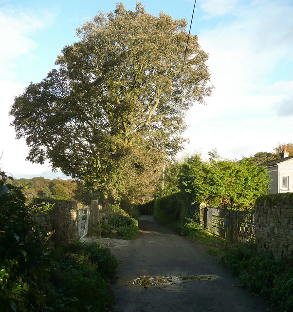
Image: © Humphrey Bolton Taken: 10 Oct 2020
The surface of this lane varies along its length from mud to tarmac and back to mud again. The lane runs along what was in 1850 a strip of moorland called Race Moor, containing sandstone quarries, between enclosed fields.
Images are licensed for reuse under creativecommons.org/licenses/by-sa/2.0
Image Location


Leaflet Map data © OpenStreetMap
Latitude
53.849027
Longitude
-1.951931