Open scrubland, Swanpool, Lincoln
Introduction
The photograph on this page of Open scrubland, Swanpool, Lincoln by Oliver Mills as part of the Geograph project.
The Geograph project started in 2005 with the aim of publishing, organising and preserving representative images for every square kilometre of Great Britain, Ireland and the Isle of Man.

There are currently over 7.5m images from over 14,400 individuals and you can help contribute to the project by visiting https://www.geograph.org.uk
Open scrubland, Swanpool, Lincoln
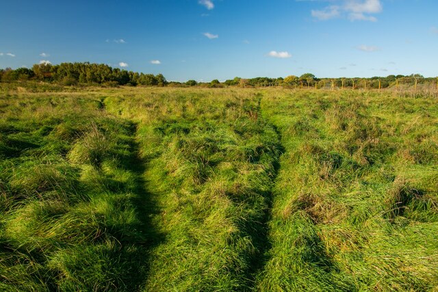
Image: © Oliver Mills Taken: 11 Oct 2020
The former site of the Swanpool Landfill, now a rather healthy-looking but coarse area of scrubland. Seemingly an "unofficial" area of common land, with many openings in the perimeter fence and well-defined footpaths. Many photographers were present, most probably bird photographers. The woodland area on the left is also part of this land, featuring a mysterious metal structure resembling a miniature-sized bottle kiln. It is not marked on maps, but is clearly visible on aerial imagery of the east edge of the woodland.
Images are licensed for reuse under creativecommons.org/licenses/by-sa/2.0
Image Location


Leaflet Map data © OpenStreetMap
Latitude
53.222762
Longitude
-0.560871