Stocks Lane, Clayton
Introduction
The photograph on this page of Stocks Lane, Clayton by Humphrey Bolton as part of the Geograph project.
The Geograph project started in 2005 with the aim of publishing, organising and preserving representative images for every square kilometre of Great Britain, Ireland and the Isle of Man.

There are currently over 7.5m images from over 14,400 individuals and you can help contribute to the project by visiting https://www.geograph.org.uk
Stocks Lane, Clayton
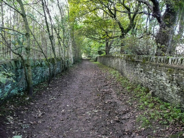
Image: © Humphrey Bolton Taken: 8 Oct 2020
This is not a through route, apart from footpaths, and seems to have been made to give access to fields. The 1850 six-inch map shows a building at the end, captioned 'Stocks Lane Bottom', implying that the lane was there first. It also shows the lane as passing a house called St Ives.
Images are licensed for reuse under creativecommons.org/licenses/by-sa/2.0
Image Location
Latitude
53.767558
Longitude
-1.81761