Stocks Lane, Clayton
Introduction
The photograph on this page of Stocks Lane, Clayton by Humphrey Bolton as part of the Geograph project.
The Geograph project started in 2005 with the aim of publishing, organising and preserving representative images for every square kilometre of Great Britain, Ireland and the Isle of Man.

There are currently over 7.5m images from over 14,400 individuals and you can help contribute to the project by visiting https://www.geograph.org.uk
Stocks Lane, Clayton
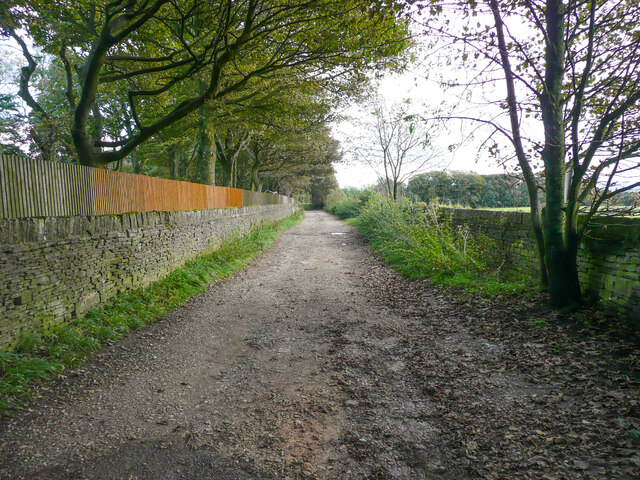
Image: © Humphrey Bolton Taken: 8 Oct 2020
Presumably this lane has not been adopted and surfaced by the council because it only goes to Low House.
Images are licensed for reuse under creativecommons.org/licenses/by-sa/2.0
Image Location
Latitude
53.769361
Longitude
-1.821091