Burnside Farm
Introduction
The photograph on this page of Burnside Farm by Anne Burgess as part of the Geograph project.
The Geograph project started in 2005 with the aim of publishing, organising and preserving representative images for every square kilometre of Great Britain, Ireland and the Isle of Man.

There are currently over 7.5m images from over 14,400 individuals and you can help contribute to the project by visiting https://www.geograph.org.uk
Burnside Farm
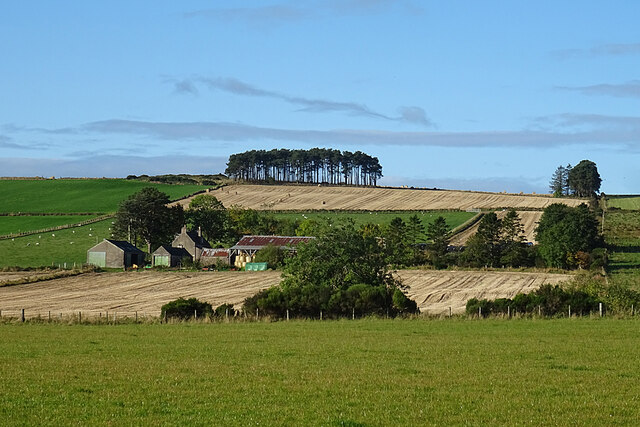
Image: © Anne Burgess Taken: 8 Oct 2020
Comparing this with the first edition of the six-inch Ordnance Survey map the layout and boundaries of the fields at Burnside have not changed in 170 years or so.
Images are licensed for reuse under creativecommons.org/licenses/by-sa/2.0
Image Location
Latitude
57.569621
Longitude
-2.936837