
The path on Cleeve Hill is closed!
Introduction
The photograph on this page of The path on Cleeve Hill is closed! by Neil Owen as part of the Geograph project.
The Geograph project started in 2005 with the aim of publishing, organising and preserving representative images for every square kilometre of Great Britain, Ireland and the Isle of Man.

There are currently over 7.5m images from over 14,400 individuals and you can help contribute to the project by visiting https://www.geograph.org.uk
The path on Cleeve Hill is closed!
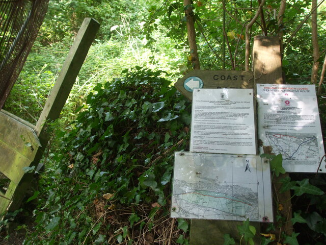
Image: © Neil Owen Taken: 10 Sep 2020
Rising out of Blue Anchor the main road leaves the coast and heads inland as it goes uphill. At this point a public footpath takes walkers back down to the coast path. Or rather it would, but it is now closed. The official notice states that it will remain closed for six months or until the repair works are carried out, whichever is the earlier. The wooden stile may be part of those repairs.
Images are licensed for reuse under creativecommons.org/licenses/by-sa/2.0
Image Location

Latitude
51.181837
Longitude
-3.382155